
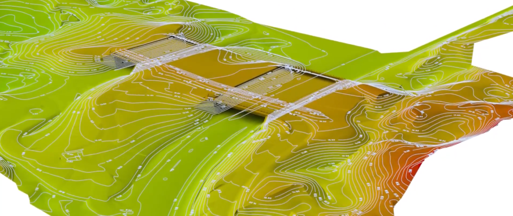
A topographic survey locates all natural and man-made features and improvements, and their elevations.
When Topographic Surveys are needed
Topographic surveys, also known as base maps, may be required as part of civil engineering design and construction projects, including:
- New construction
- Remodeling projects
- Utility design
- Road or bridge design or improvements
- Grading or drainage projects
Topographic surveys are required by many local government bodies to determine the existing conditions and elevations of a site. Together with a boundary survey, topographic surveys are used by architects and engineers to create accurate and appropriate designs based on existing conditions.
Topographic Surveys data usage
Measurements for topographic surveys are done either with a land surveying Global Positioning System (GPS) unit, or with an Electronic Distance Measurement (EDM) instrument. The results of the topographic survey are presented as base maps. Our CAD experts are able to input this data to model how the topography may change through planned improvements.
Clients can use topographic surveys to determine and plan features such as drainage ditches, grading, or other features, using the natural landscape as the basis for such improvements. Engaging a land surveyor to conduct a topographic survey prior to a construction project will ensure that the land’s features will be suitable for its intended use.